Rupin Pass Trek – Conquer the Legendary Pass of Himachal Pradesh

Himachal Pradesh

From

18,495.00

Duration

8 days

Explore Tours

About the Trek

The Rupin Pass Trek is one of the most beautiful and challenging treks in Himachal Pradesh. Known for its ever-changing landscapes, it offers trekkers a spectacular experience through lush forests, scenic villages, alpine meadows, and snow-covered terrains. The trek takes you over the Rupin Pass, which stands at an altitude of 4,660 meters, and provides magnificent views of the surrounding peaks and valleys.

Key Highlights

  • Rupin Pass Summit: Trek to the summit of Rupin Pass, at 4,660 meters, offering breathtaking views.
  • Scenic Villages: Pass through remote villages like Sangla, which provide a glimpse into the traditional life of the locals.
  • Diverse Terrain: Encounter varied landscapes, including dense forests, meadows, rocky paths, and snow-covered stretches.
  • Majestic Views: Enjoy panoramic views of the Kinnaur Kailash range and other peaks of Himachal Pradesh.

Tour Description

The trek begins in the picturesque town of Sangla, nestled in the Kinnaur Valley. From here, trekkers head towards Jangla, then trek through the dense forests and reach Rupin Pass. The climb to Rupin Pass is steep and challenging, but the views from the top are worth every step. After crossing the pass, trekkers descend through meadows and remote villages, finally reaching the town of Rohru to complete the trek.

Challenges

  • Altitude Gain: The trek requires significant altitude gain, necessitating proper acclimatization to avoid altitude sickness.
  • Weather Conditions: The weather can change rapidly, with snow, rain, and fog being common.
  • Steep Ascents: The trail has some steep ascents, especially while approaching Rupin Pass.

Facilities

  • Experienced Guides: Knowledgeable guides and porters to assist throughout the trek.
  • Accommodation: Camping arrangements along the route and basic guesthouses in villages.
  • Meals: Nutritious vegetarian meals provided during the trek.
  • First Aid: Medical support, with first-aid kits carried by the trekking team.


Who Can Participate?

  • Suitable for trekkers with good fitness levels and prior trekking experience.
  • Open to individuals aged 18 and above.
  • Best for those who are looking for an adventurous, high-altitude trek with challenging conditions.

How to Reach

  • Nearest Railway Station: Shimla Railway Station (for reaching Sangla).
  • Nearest Airport: Shimla Airport (for reaching Sangla).
  • Road Connectivity: Sangla is accessible via road from Shimla, which is well connected to other parts of India.

Pick-up and Drop-off Info

Pick-up will be from Shimla Railway Station or Shimla Airport, and drop-off will be at the same location after the trek.

Frequently Asked Questions (FAQ)

  • Q: What is the best time to do the Rupin Pass Trek?
    A: The ideal time is from May to October.
  • Q: Is prior trekking experience necessary?
    A: Yes, prior trekking experience is recommended due to the challenging terrain and altitude.
  • Q: What type of food is provided during the trek?
    A: Nutritious vegetarian meals are provided throughout the trek.

Key Points

  • Best Time to Travel: May to October.
  • Temperature: Daytime temperatures range from 12°C to 18°C; nighttime temperatures can drop to -5°C.
  • Altitude: Rupin Pass at 4,660 meters.
  • Longitude: 77.7893°E
  • Latitude: 31.3410°N

Included/Exclude

Inclusions in the Tour Package

  • Accommodation: Camps (Sharing Camp for two people), Home Stay.
  • Guides & Support Staff: Qualified & experienced Trek Leader, Guide, and Support staff to assist trekkers.
  • Sleeping Gear: Sleeping Bags.
  • Meals: All meals during the trek (Breakfast, Packed Lunch, and Dinner – only vegetarian).
  • Permits & Fees: Trekking Permits and Forest Fees.
  • Trekking Equipment: Tent, Mattress, Sleeping Bag, Dining & Kitchen Tent, Toilet Tent, Cooking Utensils, and Crampons (if required).
  • Medical Assistance: First aid medical kits and oxygen cylinder.
  • Guide & Support Staff Expenses: Guide Allowances, Food, and Stay.
  • Potters: Potters will carry only trekking equipment.
  • Potter's Expenses: Allowances, Food, and Stay.
  • Kitchen Staff: Included for cooking and meal preparation.
  • Kitchen Staff Expenses: Allowances, Food, and Stay.
  • Cook: Responsible for preparing meals.
  • Cook's Expenses: Allowances, Food, and Stay.
  • Transportation: As per the trek itinerary.

Exclusions in the Tour Package

  • Any other facilities that are not mentioned in the inclusions.
  • Potters for carrying your personal luggage.
  • Extra meals like lunch during the journey by cab and stay at hotels (lunch is only provided during the trek).
  • Personal expenses such as Water Bottles, Laundry, Phone Calls, etc.
  • Insurance.
  • Gaiters.
  • Anything not specifically mentioned under "Inclusions."

Tour Amenities

Certified Trek Leader

Hassle-Free Permits

Warm Meals, Always

Itinerary


Overview

Drive Distance: 198 km (approx. 9-10 hours)

Starting Altitude: 2,276 meters / 7,467 feet at Shimla

Ending Altitude: 2,099 meters / 6,889 feet at Jiskun

Detailed Plan

- Depart from Shimla early morning, driving through the picturesque Chainsheel Valley.

- Enjoy views of terraced fields, dense forests, and traditional Himachali villages.

- Arrive at Jiskun by evening; this quaint village serves as the base camp for the trek.

- Overnight stay in a guesthouse or homestay.


Overview

Trek Distance: 8 km (approx. 4 hours)

Starting Altitude: 2,099 meters / 6,889 feet at Jiskun

Ending Altitude: 2,750 meters / 9,022 feet at Jakha

Detailed Plan

- Begin the trek with a gradual ascent through mixed forests of oak and rhododendron.

- Cross small streams and wooden bridges, experiencing the serene beauty of the region.

- Reach Jakha, the last inhabited village on this route, by afternoon.

- Overnight stay in a homestay or tents.


Overview

Trek Distance: 8 km (approx. 4 hours)

Starting Altitude: 2,750 meters / 9,022 feet at Jakha

Ending Altitude: 3,566 meters / 11,700 feet at Dhanderas Thatch

Detailed Plan

- Continue the trek through dense forests, gradually ascending to the alpine meadows.

- Pass through Saruwas Thatch, a beautiful meadow offering panoramic views.

- Arrive at Dhanderas Thatch, also known as the Lower Waterfall Camp, by afternoon.

- Overnight stay in tents amidst the scenic meadow.


Overview

Altitude: 3,566 meters / 11,700 feet

Detailed Plan

- Utilize this day to rest and acclimatize to the high altitude.

- Engage in short hikes around the campsite to aid acclimatization.

- Prepare for the challenging ascent to Upper Waterfall Camp the following day.

- Overnight stay in tents.


Overview

Trek Distance: 3 km (approx. 3 hours)

Starting Altitude: 3,566 meters / 11,700 feet at Dhanderas Thatch

Ending Altitude: 4,080 meters / 13,386 feet at Upper Waterfall Camp

Detailed Plan

- Begin the steep ascent alongside the Rupin waterfall, navigating through rocky terrain.

- The trail offers breathtaking views of the cascading waterfall and surrounding peaks.

- Reach the Upper Waterfall Camp by afternoon, setting up tents near the snowline.

- Overnight stay in tents under the starlit sky.


Overview

Trek Distance: 10 km (approx. 10 hours)

Starting Altitude: 4,080 meters / 13,386 feet at Upper Waterfall Camp

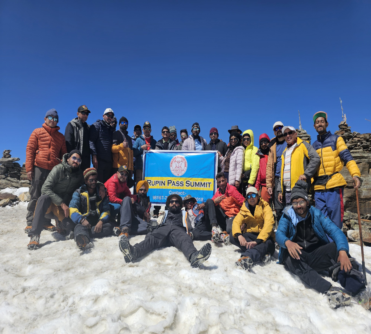
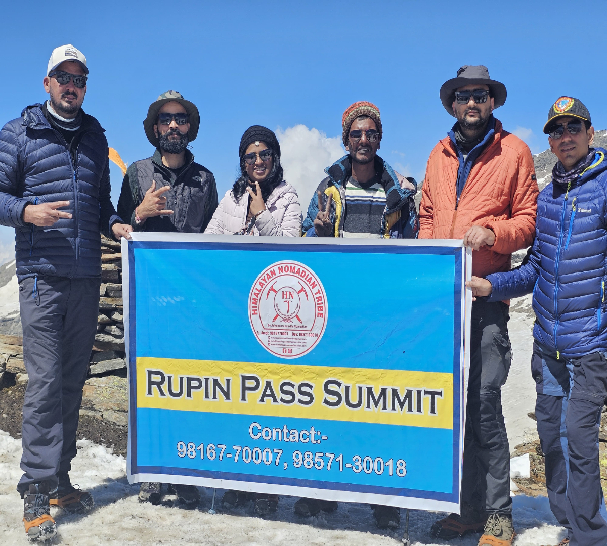
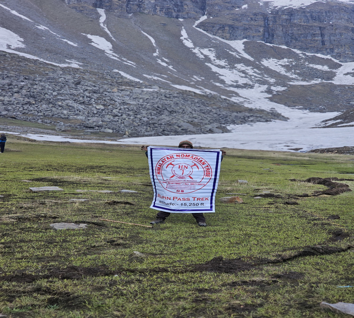
Pass Altitude: 4,650 meters / 15,250 feet at Rupin Pass

Ending Altitude: 3,900 meters / 12,795 feet at Ronti Gad

Detailed Plan

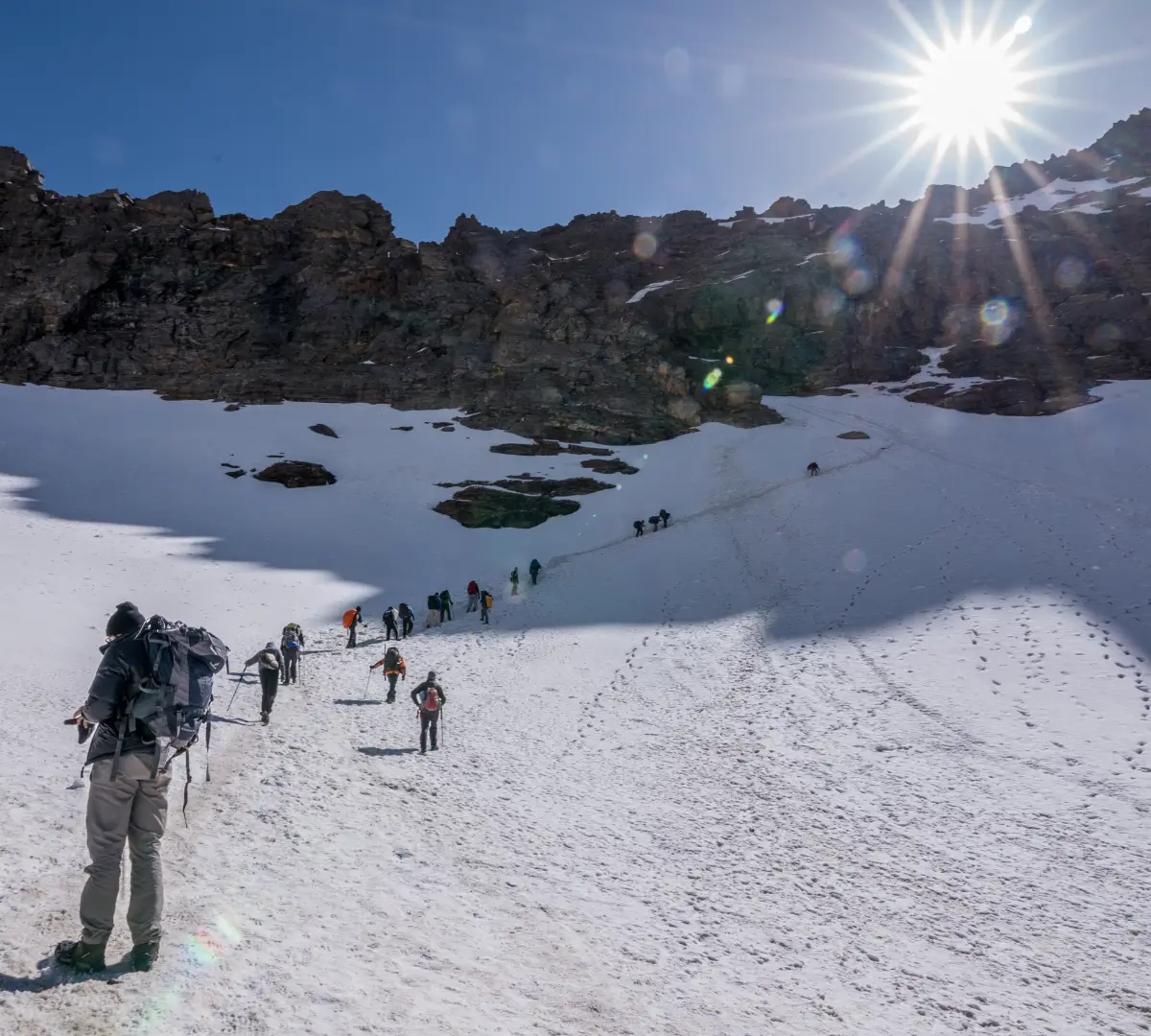
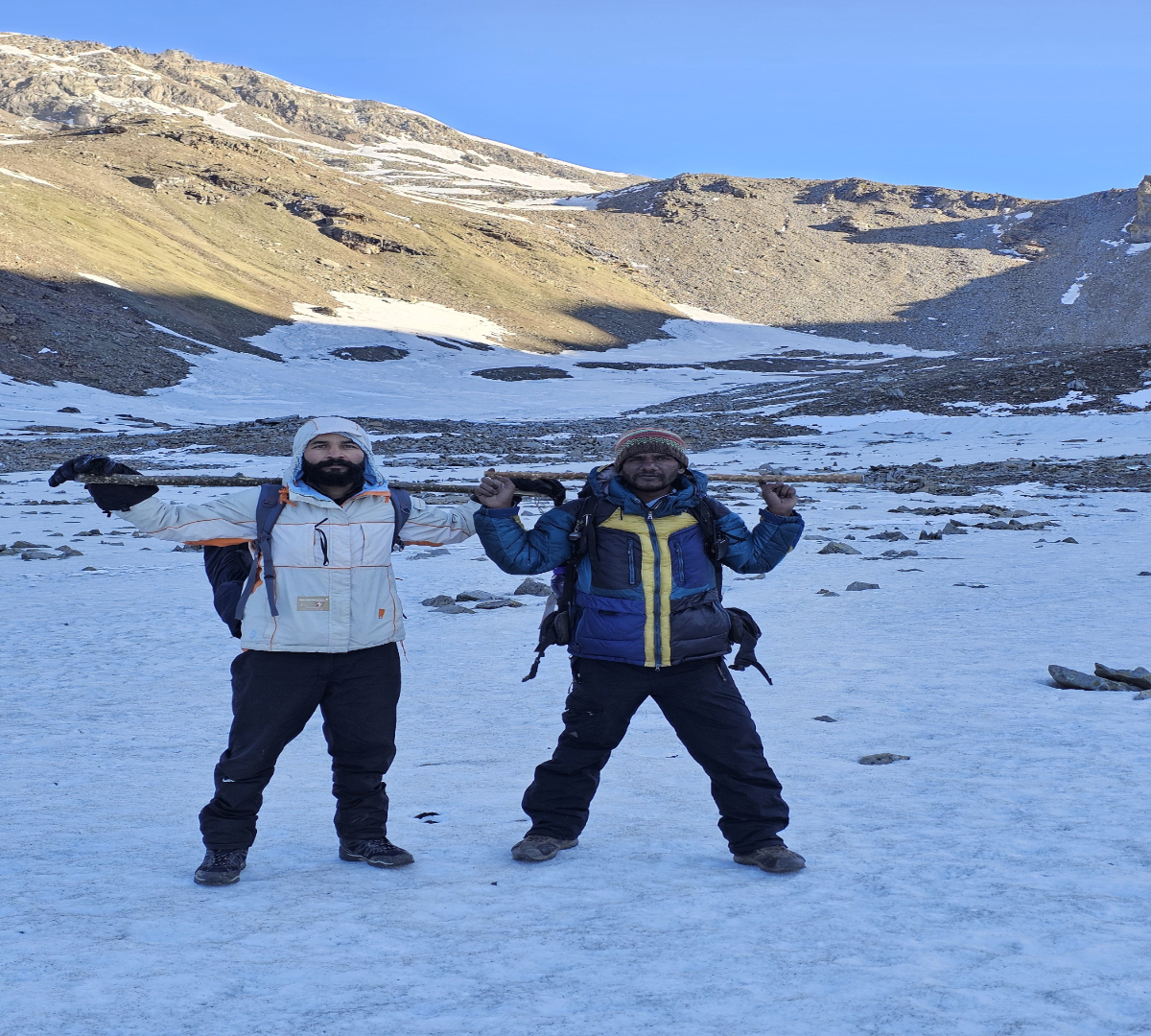
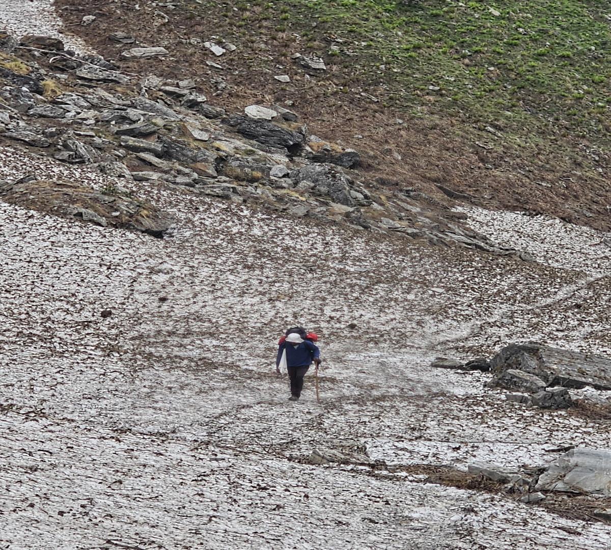
- Start early for the challenging ascent to Rupin Pass, traversing snowfields and rocky terrain.

- The final stretch to the pass involves a steep climb on loose moraine and snow.

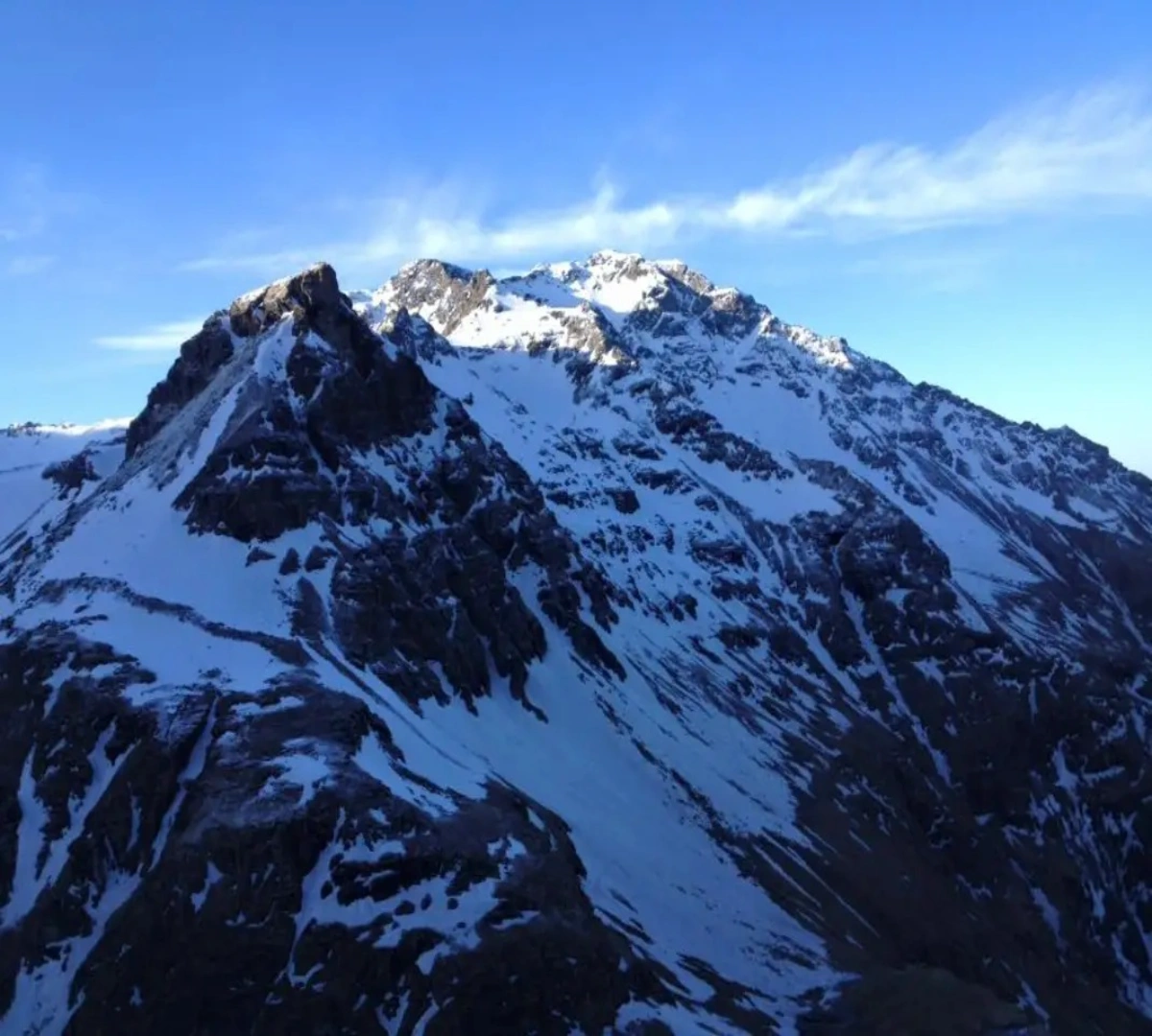
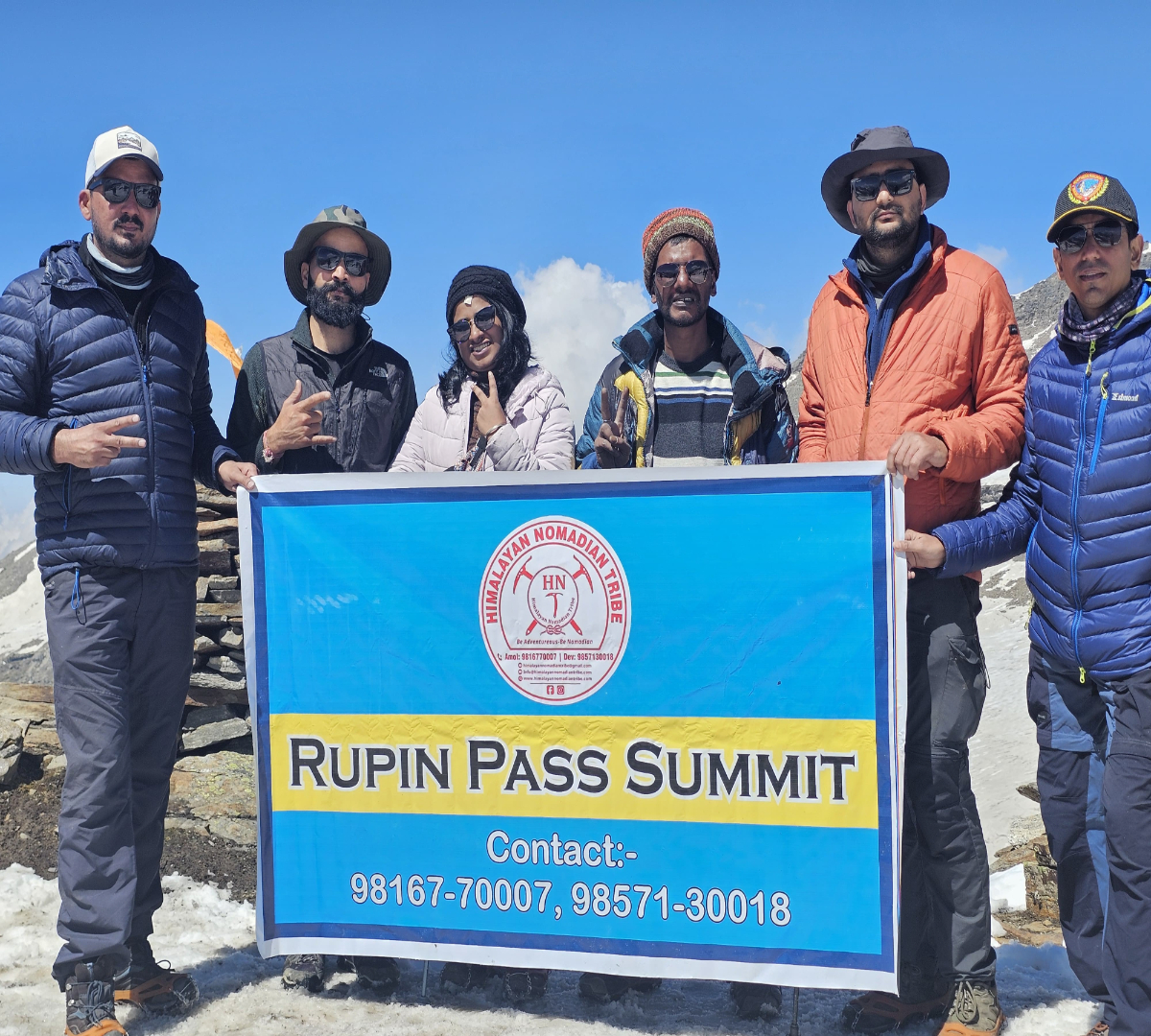
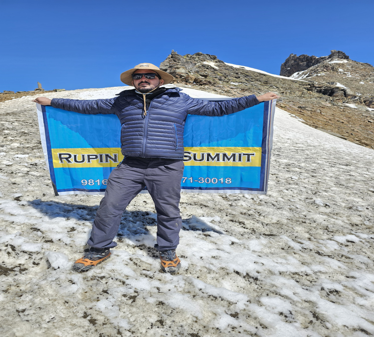
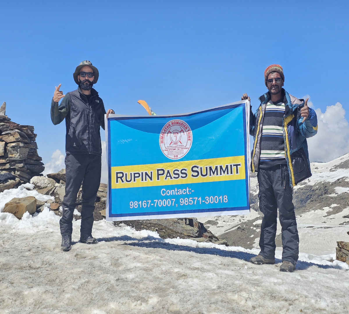
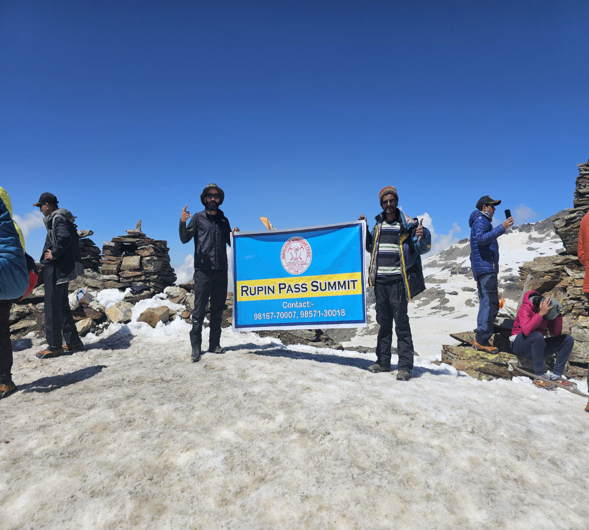
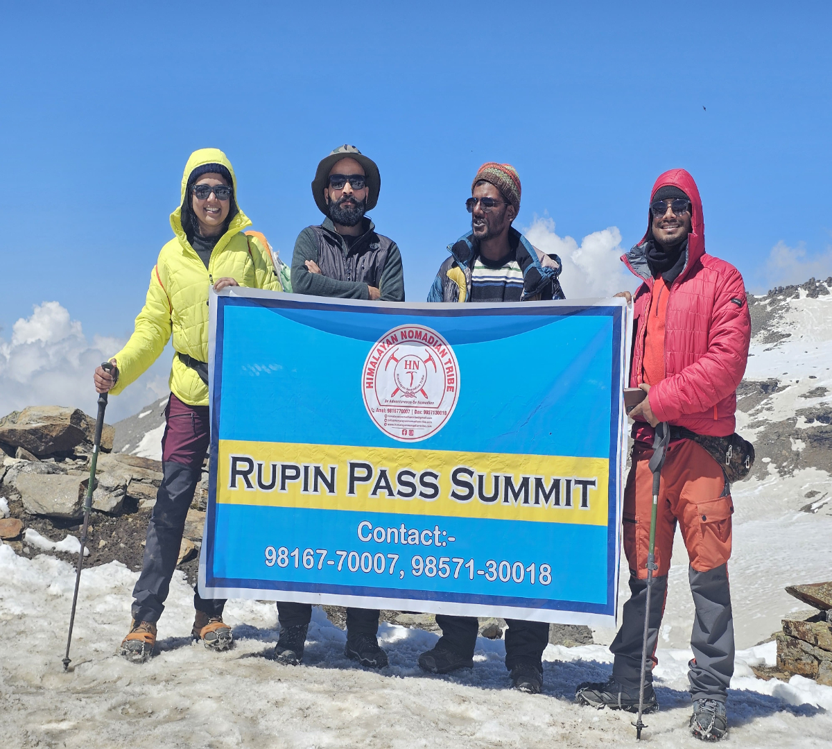
- Upon reaching Rupin Pass (4,650m), enjoy breathtaking views of the Kinnaur Kailash range.

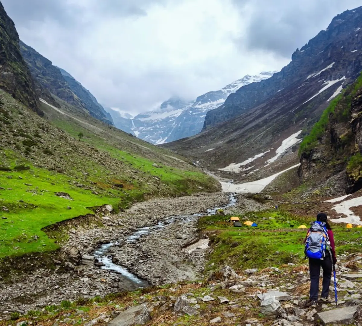
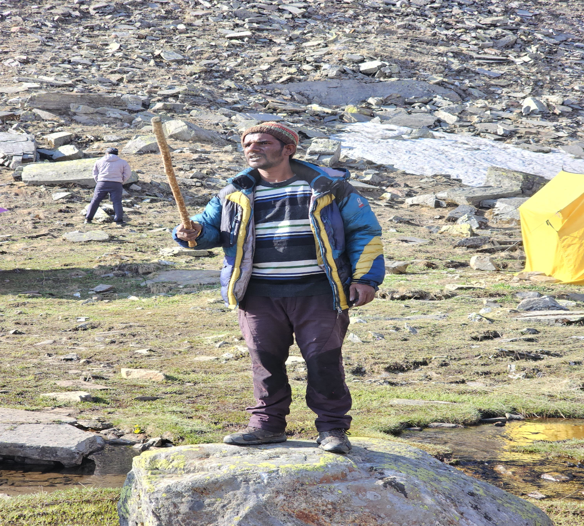
- Begin the steep descent towards Ronti Gad, passing through snow patches and meadows.

- Reach the Ronti Gad campsite by evening and set up tents for the night.


Overview

Trek Distance: 12 km (approx. 6-7 hours)

Starting Altitude: 3,900 meters / 12,795 feet at Ronti Gad

Ending Altitude: 2,680 meters / 8,793 feet at Sangla

Detailed Plan

- Begin the descent from Ronti Gad through lush green meadows and dense forests.

- The trail gradually descends towards Sangla, offering spectacular views of the Baspa Valley.

- Arrive in Sangla by afternoon, marking the end of the trek.

- Overnight stay in a guesthouse or homestay.


Overview

Drive Distance: 230 km (approx. 8-9 hours)

Starting Altitude: 2,680 meters / 8,793 feet at Sangla

Ending Altitude: 2,276 meters / 7,467 feet at Shimla

Detailed Plan

- Depart early from Sangla and drive through scenic Kinnaur, crossing villages like Chitkul and Rakcham.

- Enjoy a comfortable drive along the Sutlej River before reaching Shimla by evening.

- Trek concludes upon reaching Shimla.

Important Notes

  • Best Time to Visit: Ideal trekking season is May to June and September to October.
  • Difficulty Level: Moderate to Difficult – requires good physical fitness and prior trekking experience.
  • Weather Conditions: Temperatures range from 5°C to 15°C during the day and can drop to -5°C at night.
  • Permits: Trekkers need to obtain permits for entering the forest and crossing into Himachal Pradesh.
  • Acclimatization: Proper acclimatization is crucial as the trek reaches an altitude of over 4,650 meters.
  • Network Connectivity: Mobile networks are available in Jiskun and Sangla but are unreliable on the trek.
  • Eco-Friendly Trek: Follow the Leave No Trace principles – carry your waste back and respect nature.
  • Essential Gear: Good trekking shoes, warm layers, rain gear, sunglasses, gloves, trekking poles, and a headlamp.

Related Tours

Review Scores

No reviews yet

Add a Comment

Your email address will not be published.

  • Quality
  • Location
  • Amenities
  • Services
  • Price


Booking Tour

Overview

Min Age

18

Duration

8 days

Max Altitude

What To Bring ?