Goecha La Trek – An Adventurous Journey to the Foot of Kanchenjunga
Explore Tours
About the Trek
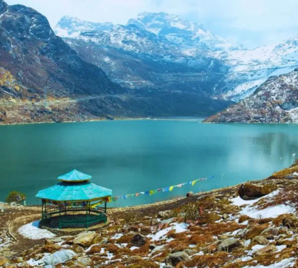
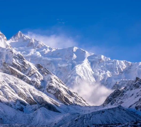
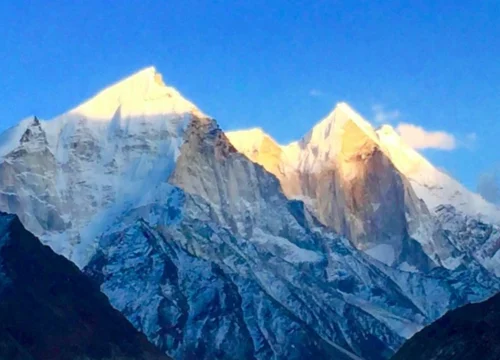
The Goecha La Trek is one of the most sought-after treks in Sikkim, offering a remarkable opportunity to get close to the mighty Kanchenjunga, the third-highest mountain in the world. The trek takes you through dense forests, picturesque meadows, and stunning viewpoints, culminating at Goecha La pass at an altitude of 4,940 meters. The awe-inspiring views of the Kanchenjunga massif are truly unforgettable, making this trek a must for avid trekkers and adventure enthusiasts.
Key Highlights
- Unrivaled Views: Spectacular close-up views of Kanchenjunga and other peaks of the Himalayas.
- Scenic Beauty: Pass through dense forests, alpine meadows, and serene lakes.
- Goecha La Pass: Stand at an altitude of 4,940 meters for panoramic views of the Himalayan ranges.
- Rich Biodiversity: Observe diverse flora and fauna along the route.
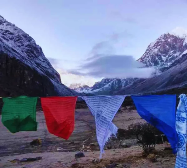
- Cultural Immersion: Explore the local culture and traditions of Sikkim.
Tour Description
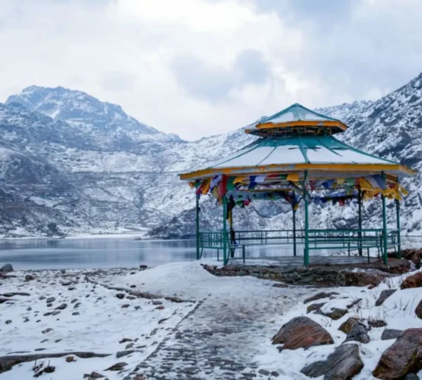
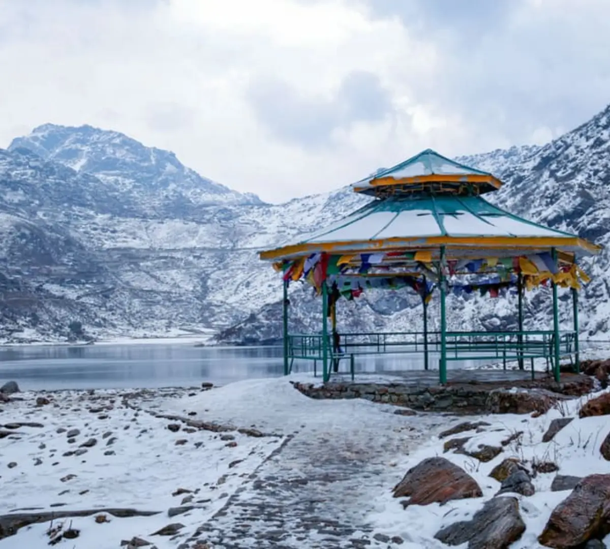
The trek begins from Yuksom, a quaint village in West Sikkim, which is the base for the Goecha La Trek. From Yuksom, trekkers embark on a scenic trail that passes through dense forests of oak, rhododendron, and magnolia. The path leads to the beautiful Dzongri campsite, offering stunning views of the surrounding peaks. The next major stop is the Goecha La Pass, which offers panoramic views of Kanchenjunga, Mount Pandim, and several other towering peaks. The trek also includes a visit to Samiti Lake and a few other scenic spots before descending back to Yuksom.
Challenges
- Altitude Gain: The trek reaches high altitudes, with Goecha La situated at 4,940 meters, requiring proper acclimatization.
- Weather Conditions: The weather in the higher reaches can be unpredictable, with cold temperatures and possible rainfall.
- Length and Difficulty: The trek is long and moderately difficult, suitable for experienced trekkers.
Facilities
- Experienced trek guides and support staff
- Tent accommodation along the trail
- Nutritious and vegetarian meals
- Medical kits and emergency support
Who Can Participate?
- This trek is best suited for experienced trekkers with good physical fitness.
- Recommended for individuals aged 18 and above.
- Ideal for those who enjoy long treks at high altitudes.
How to Reach
- Nearest Railway Station: New Jalpaiguri (NJP)
- Nearest Airport: Bagdogra Airport (IXB), about 6-7 hours from Yuksom
- Road Connectivity: Yuksom is well connected by road from NJP and Siliguri.
Pick-up and Drop-off Info
Pick-up will be arranged from New Jalpaiguri (NJP) Railway Station or Bagdogra Airport, followed by a drive to Yuksom. Drop-off will be in Yuksom after completing the trek.
Frequently Asked Questions (FAQ)
- Q: How difficult is the Goecha La Trek?
A: The Goecha La Trek is moderately difficult and requires good physical fitness and acclimatization. - Q: What is the best time to do the Goecha La Trek?
A: The best time for the trek is from April to June and September to November. - Q: What should I pack for the Goecha La Trek?
A: Pack warm clothing, trekking boots, a waterproof jacket, and necessary personal items.
Key Points
- Best Time to Travel: April to June, September to November
- Temperature: Day: 15°C to 20°C, Night: -5°C to -10°C
- Altitude: 4,940 meters (16,207 feet)
- Longitude: 88.5903°E
- Latitude: 27.7791°N
Included/Exclude
Included in the Tour Package
- Accommodation in tents and guesthouses
- Meals (breakfast, lunch, and dinner) during the trek
- Experienced guides, porters, and support staff
- Necessary permits and entry fees
- First aid and emergency support
Tour Amenities
- Well-maintained campsites with safety measures
- Campfire at designated camping sites
- Experienced local guides familiar with the region
Excluded in the Tour Package
- Personal expenses like souvenirs and shopping
- Travel insurance
- Transportation to and from Yuksom
Tour Amenities
Certified Trek Leader
Hassle-Free Permits
Warm Meals, Always
Itinerary
Overview
Altitude: 1,780 meters / 5,840 feet
Drive Distance: 150 km from New Jalpaiguri (approx. 8 hours)
Detailed Plan
- Depart from New Jalpaiguri early in the morning.
- Drive through scenic routes to reach Yuksom, the starting point of the trek.
- Evening briefing about the trek and overnight stay in Yuksom.
Overview
Altitude:
- Yuksom: 1,780 meters / 5,840 feet
- Sachen: 2,195 meters / 7,200 feet
Trek Distance: 8 km (approx. 5-6 hours)
Detailed Plan
- Begin the trek after breakfast, entering the dense forested trail.
- Cross multiple suspension bridges over pristine streams.
- Arrive at Sachen and set up camp for the night.
Overview
Altitude:
- Sachen: 2,195 meters / 7,200 feet
- Bakhim: 2,650 meters / 8,700 feet
- Tshokha: 2,900 meters / 9,500 feet
Trek Distance: 7 km (approx. 5 hours)
Detailed Plan
- Continue the trek, crossing the Prek Chu River.
- Ascend steeply to reach Bakhim, a picturesque spot.
- Proceed to Tshokha, a charming Tibetan settlement.
- Overnight stay in tents or trekkers' huts.
Overview
Altitude:
- Tshokha: 2,900 meters / 9,500 feet
- Phedang: 3,700 meters / 12,100 feet
- Dzongri: 3,950 meters / 13,000 feet
Trek Distance: 9 km (approx. 7-8 hours)
Detailed Plan
- Trek through rhododendron forests to reach Phedang.
- Continue ascending to Dzongri, offering panoramic mountain views.
- Overnight stay in tents at Dzongri.
Overview
Altitude: 3,950 meters / 13,000 feet
Detailed Plan
- Early morning hike to Dzongri Top (4,150 meters / 13,600 feet) for sunrise views over Kanchenjunga.
- Spend the day acclimatizing and exploring the surrounding areas.
- Overnight stay in tents.
Overview
Altitude:
- Dzongri: 3,950 meters / 13,000 feet
- Kokchurung: 3,650 meters / 12,000 feet
- Thansing: 3,900 meters / 12,800 feet
Trek Distance: 10 km (approx. 6-7 hours)
Detailed Plan
- Descend to Kokchurung through dense forests.
- Follow the trail along the Prek Chu River to reach Thansing.
- Camp overnight in tents at Thansing.
Overview
Altitude:
- Thansing: 3,900 meters / 12,800 feet
- Lamuney: 4,145 meters / 13,600 feet
Trek Distance: 4 km (approx. 2 hours)
Detailed Plan
- A short yet scenic trek with stunning views of Mt. Pandim.
- Arrive at Lamuney and set up camp.
- Rest and prepare for the next day's early morning trek to Goecha La.
- Overnight stay in tents.
Overview
Altitude:
- Lamuney: 4,145 meters / 13,600 feet
- Goecha La Viewpoint 1: 4,600 meters / 15,100 feet
- Thansing: 3,900 meters / 12,800 feet
Trek Distance: 12 km (approx. 8-9 hours)
Detailed Plan
- Begin the trek before dawn to reach Goecha La Viewpoint 1 for sunrise.
- Witness breathtaking views of Kanchenjunga and surrounding peaks.
- Return to Lamuney for breakfast and then trek back to Thansing.
- Overnight stay in tents at Thansing.
Overview
Altitude:
- Thansing: 3,900 meters / 12,800 feet
- Kokchurung: 3,650 meters / 12,000 feet
- Tshokha: 2,900 meters / 9,500 feet
Trek Distance: 16 km (approx. 7-8 hours)
Detailed Plan
- Descend from Thansing back to Kokchurung.
- Follow the forest trail leading to Tshokha.
- Overnight stay in huts or tents at Tshokha.
Overview
Altitude:
- Tshokha: 2,900 meters / 9,500 feet
- Yuksom: 1,780 meters / 5,840 feet
Trek Distance: 15 km (approx. 6-7 hours)
Detailed Plan
- Trek downhill through Bakhim and Sachen, retracing the initial route.
- Arrive at Yuksom and check into a guesthouse.
- Rest and celebrate the completion of the trek.
Overview
Drive Distance: 150 km (approx. 8 hours) to New Jalpaiguri
Detailed Plan
- Depart from Yuksom early in the morning.
- Drive back to New Jalpaiguri, concluding the trek.
Important Notes
- Acclimatization: Proper rest days are planned to adjust to the altitude.
- Weather Conditions: Be prepared for rapid weather changes, especially at higher altitudes.
- Essential Gear: Trekking poles, warm clothing, waterproof jackets, and sturdy trekking shoes.
- Permits: Sikkim Inner Line Permits are required and can be obtained in Yuksom.
- Leave No Trace: Follow eco-friendly trekking practices and avoid littering.
